St Giles'是从牛津市中心向北延伸的宽阔林荫大道。南端与Beaumont Street西侧交汇处延伸为[Magdalen](/places/colleges/magdalen/) Street;北端则分叉为左侧的[Woodstock Road](/places/streets/woodstock-road/)和右侧的[Banbury Road](/places/streets/banbury-road/)。Pusey Street在中段与西侧相交。与North Oxford大部分地区一样,这条街上的许多建筑归[St John's College](/places/colleges/st-johns/)所有。
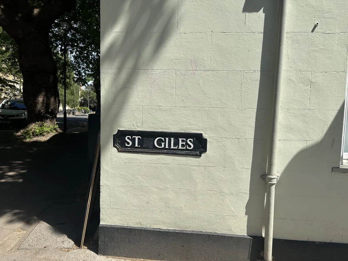
*林荫大道南端的路牌。图片来源:OxfordLocal。*
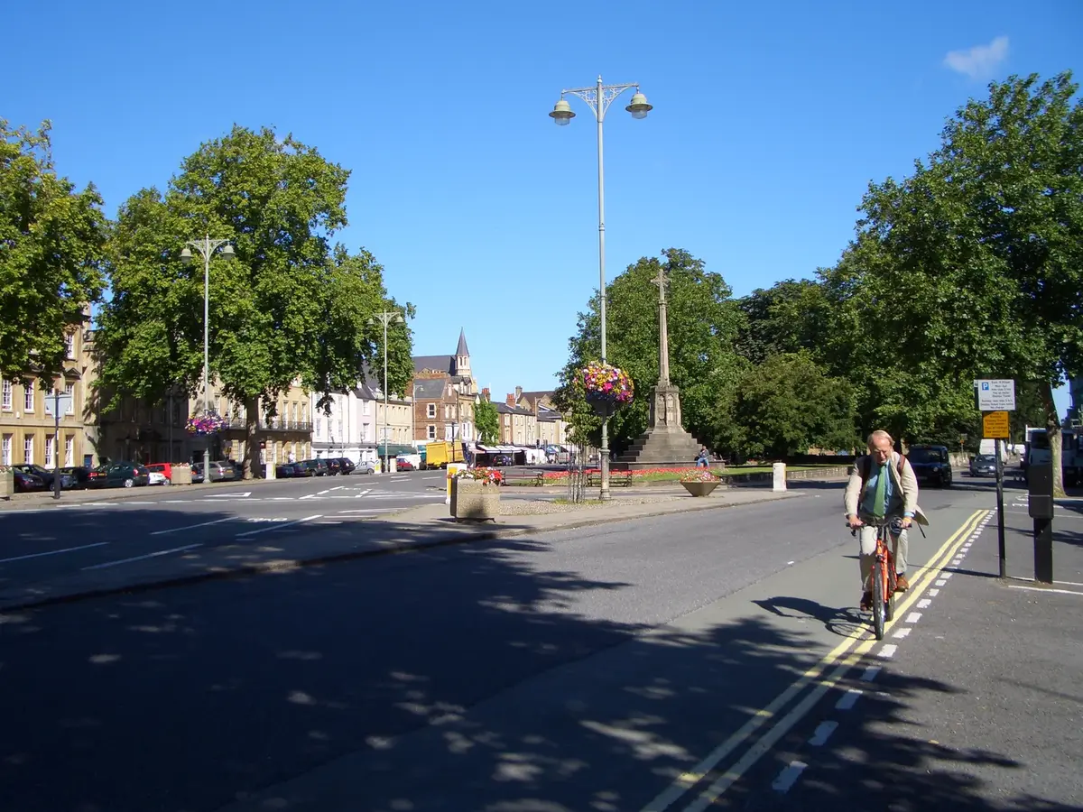
大道北端矗立着St Giles'教堂,其历史可追溯至12世纪,教堂庭院内设有牛津主要战争纪念碑。沿东侧由北向南依次为:[Lamb & Flag](/places/pubs/lamb-and-flag/)(前身为驿站旅馆)、St John's College、位于St Giles' 1号的牛津互联网研究所、[Balliol College](/places/colleges/balliol/)和[Trinity College](/places/colleges/trinity/)。就在东侧后方、Banbury Road与Woodstock Road分叉处,昔日曾有Balliol Hall——1877年9月,A. E. Clarke在此开课,这所学校后来发展为[Dragon School](/places/schools/dragon-school/),两年内迁至Crick Road,1895年再迁至Bardwell Road。
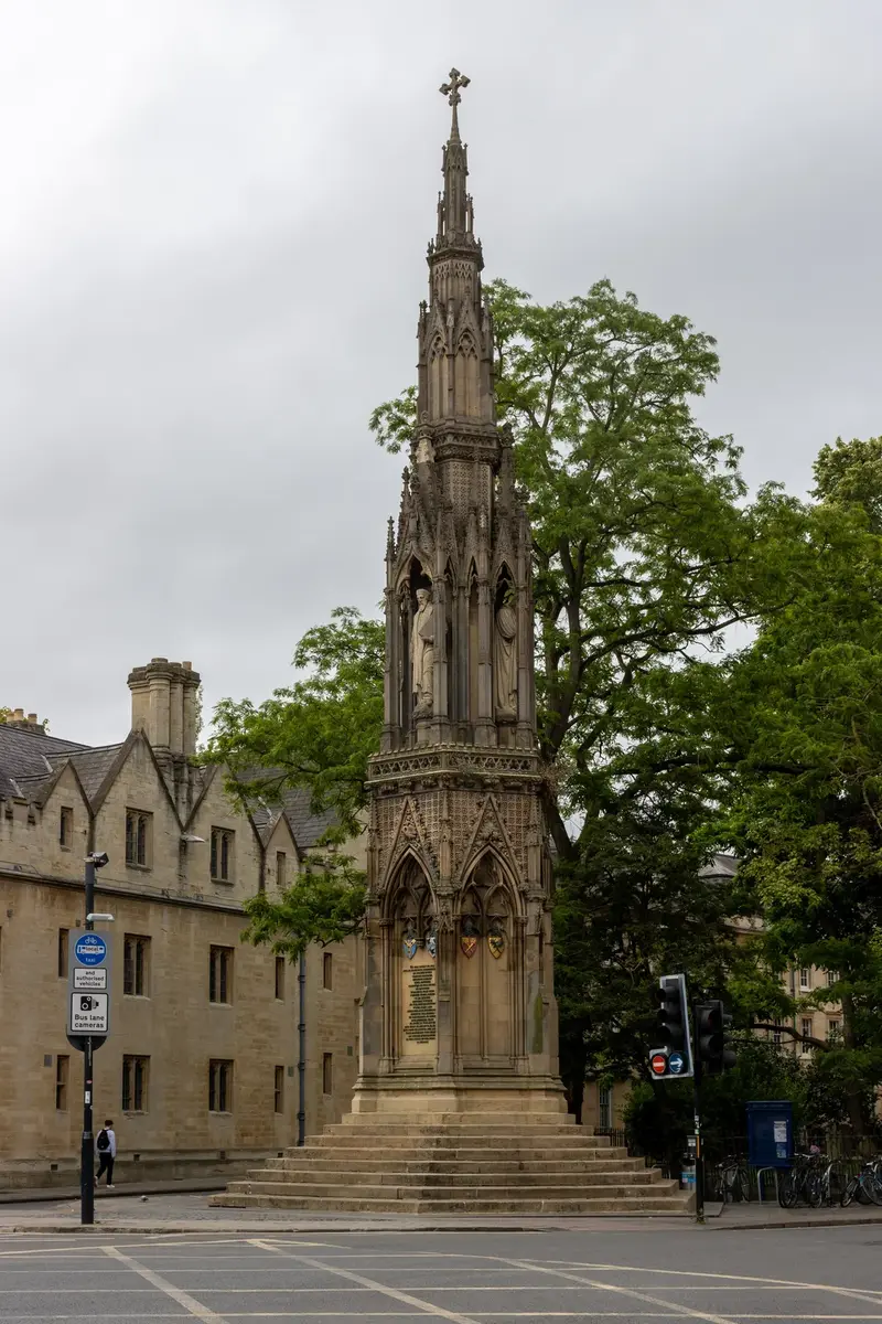
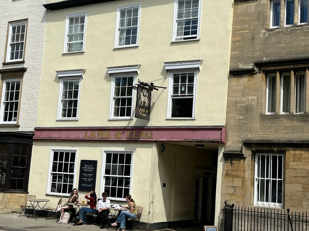
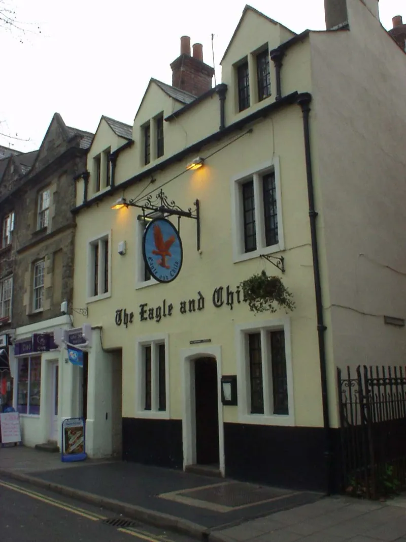
西侧由北向南,依次经过[d'Overbroeck's](/places/schools/doverbroecks/) College国际学习中心、St Benet's Hall、神学院、牛津贵格会会议厅,以及[Eagle and Child](/places/pubs/eagle-and-child/)——[托尔金](/people/tolkien/)、C. S. 刘易斯与“墨水瓶“文学社曾在此聚会——42号则是刘易斯于1956年与Joy Davidman登记结婚的注册处,该建筑现为一家牙科诊所——再往南依次为[Regent's Park College](/places/colleges/regents-park/)、Pusey House、[St Cross College](/places/colleges/st-cross/)、Blackfriars,以及Taylor Institution。[Ashmolean Museum(阿什莫林博物馆)](/places/museums/ashmolean/)紧邻其后(正门朝向Beaumont Street)。大道南端以[Martyrs' Memorial(殉道者纪念碑)](/places/landmarks/martyrs-memorial/)(1843年)收尾,以纪念1555至1556年间的牛津殉道者。
Sources:
Wikipedia: St Giles', Oxford · OpenStreetMap · Oxford City Council — St Giles' Fair