Oxford Streets
A guide to the historic streets of central Oxford — the High, Broad Street, Cornmarket, Turl, and the lanes between them. Each page lists the colleges, pubs, restaurants and shops you'll find on it, and the history behind the name.
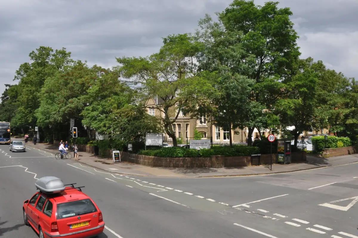
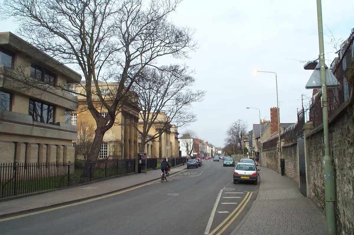
Banbury Road
North Oxford's main artery — Victorian villas of the Norham Manor estate, Summertown shops, schools, and college institutions.
Beaumont Street
A short Regency terrace that Pevsner called 'the finest street ensemble of Oxford' — running from [Worcester College](/places/colleges/worcester/) at one end to the Ashmolean and the [Martyrs' Memorial](/places/landmarks/martyrs-memorial/) at the other, with the Oxford Playhouse and the Randolph Hotel along the way.
Broad Street
Known as 'The Broad' — bookshops, the Sheldonian, and the Oxford Martyrs memorial.
Catte Street
The short street linking Broad Street and the High — past the Bodleian, the Bridge of Sighs and All Souls.
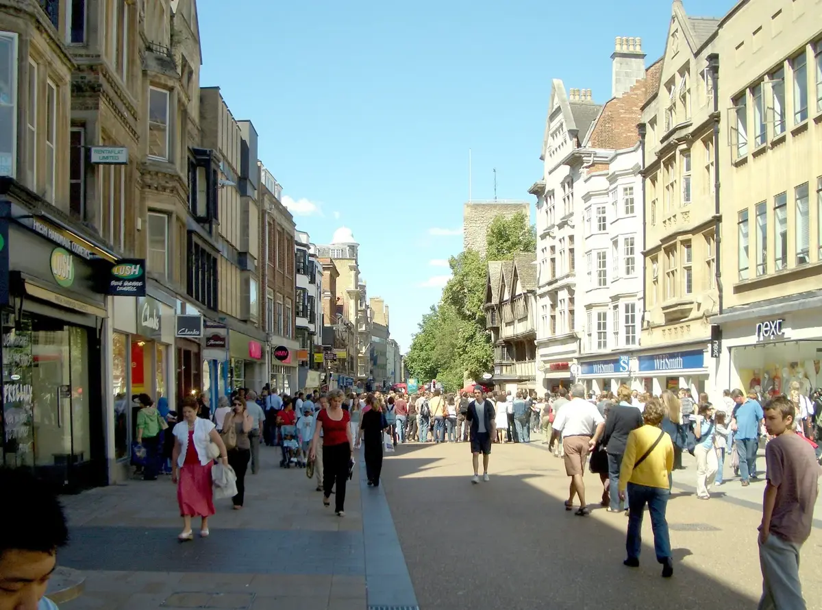
Cornmarket Street
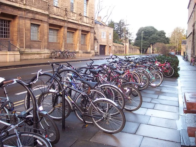
Oxford's pedestrianised retail spine, running north from Carfax to St Mary Magdalen church.
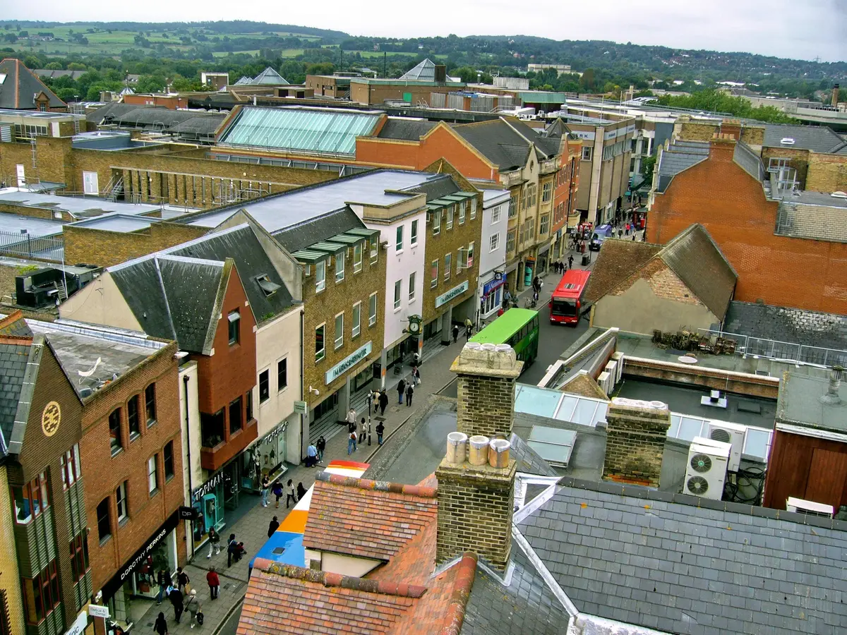
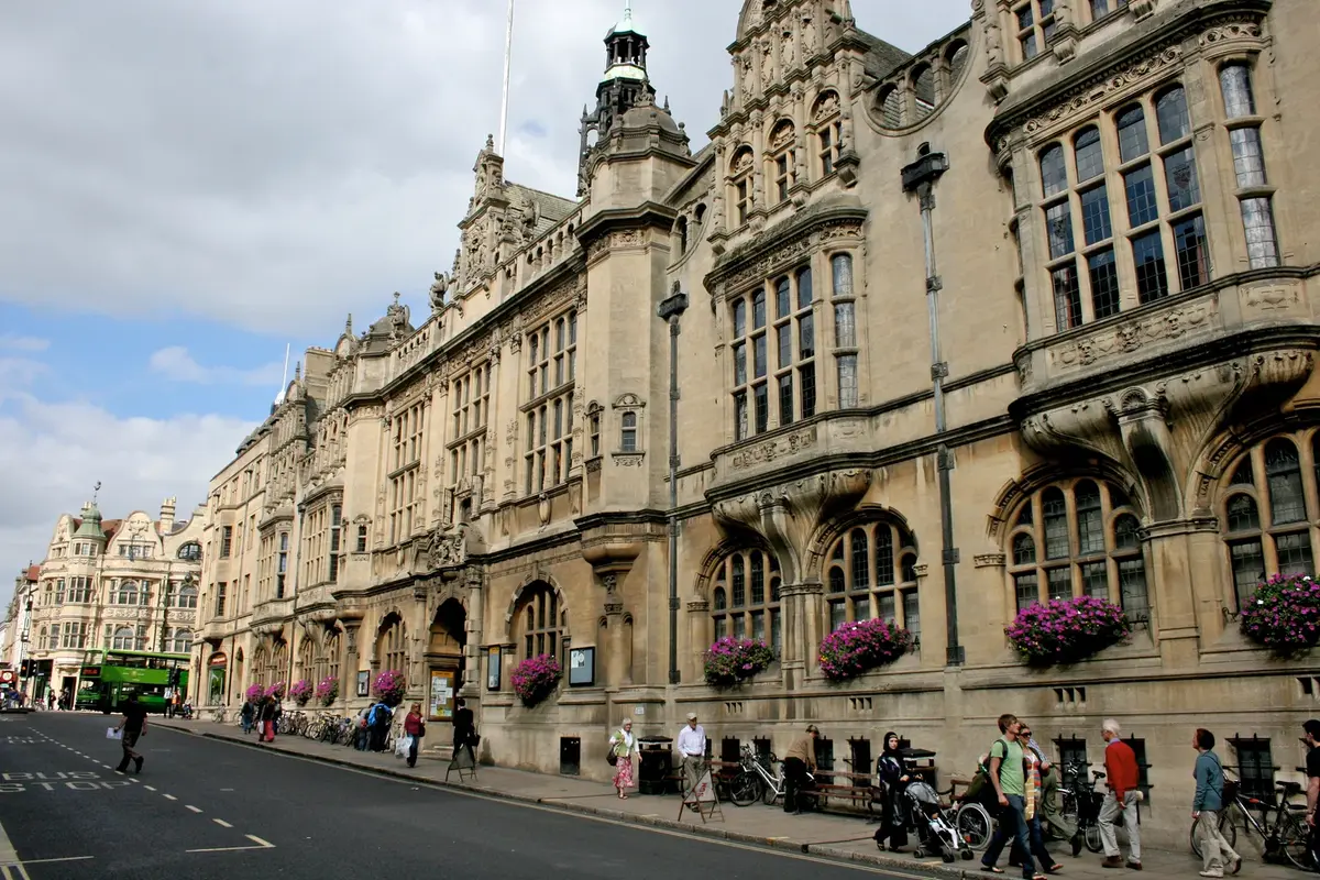
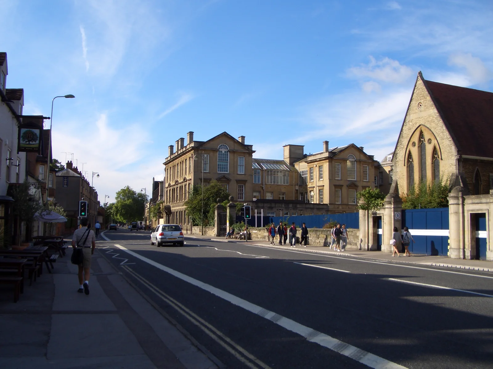
George Street
The east–west shopping and entertainment street that traces the line of Oxford's [medieval city wall](/places/landmarks/city-wall/) — anchored by the **New Theatre** on the north side, **Arts at the Old Fire Station** at No. 40, and the **Gloucester Green** bus station just behind it.
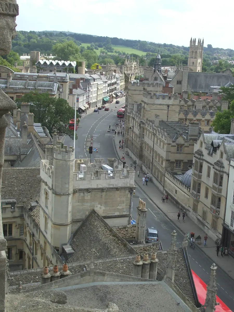
High Street
Known locally as 'The High' — Oxford's grand sweep from Carfax to Magdalen Bridge.
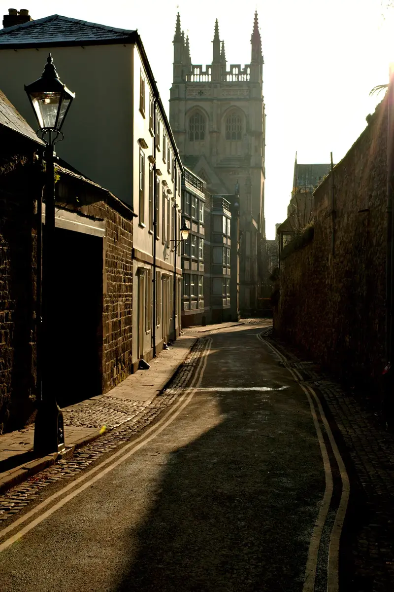
Holywell Street
A quiet east-west street of Jacobean and Georgian cottages, the Holywell Music Room and the King's Arms.
Iffley Road
The long road southeast from the Plain towards the village of Iffley — best known as the home of the running track where [Roger Bannister](/people/roger-bannister/) broke the four-minute mile on 6 May 1954, and now the A4158 spine of east Oxford.
Magpie Lane
One of Oxford's narrowest lanes — a pedestrian shortcut from the High Street to Merton Street.
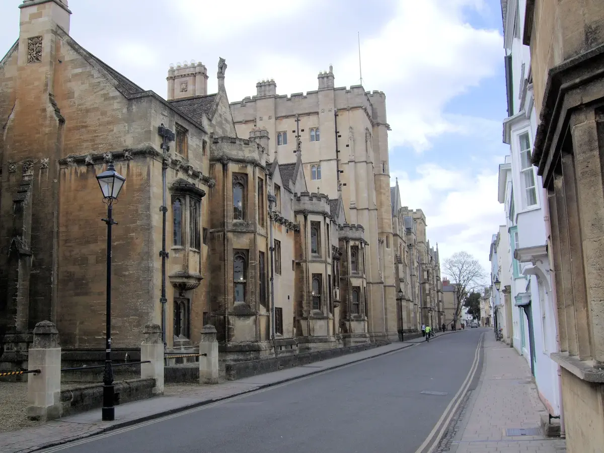
Merton Street
The cobbled lane parallel to the High Street — past Merton, Corpus Christi, and one of England's last real tennis courts.
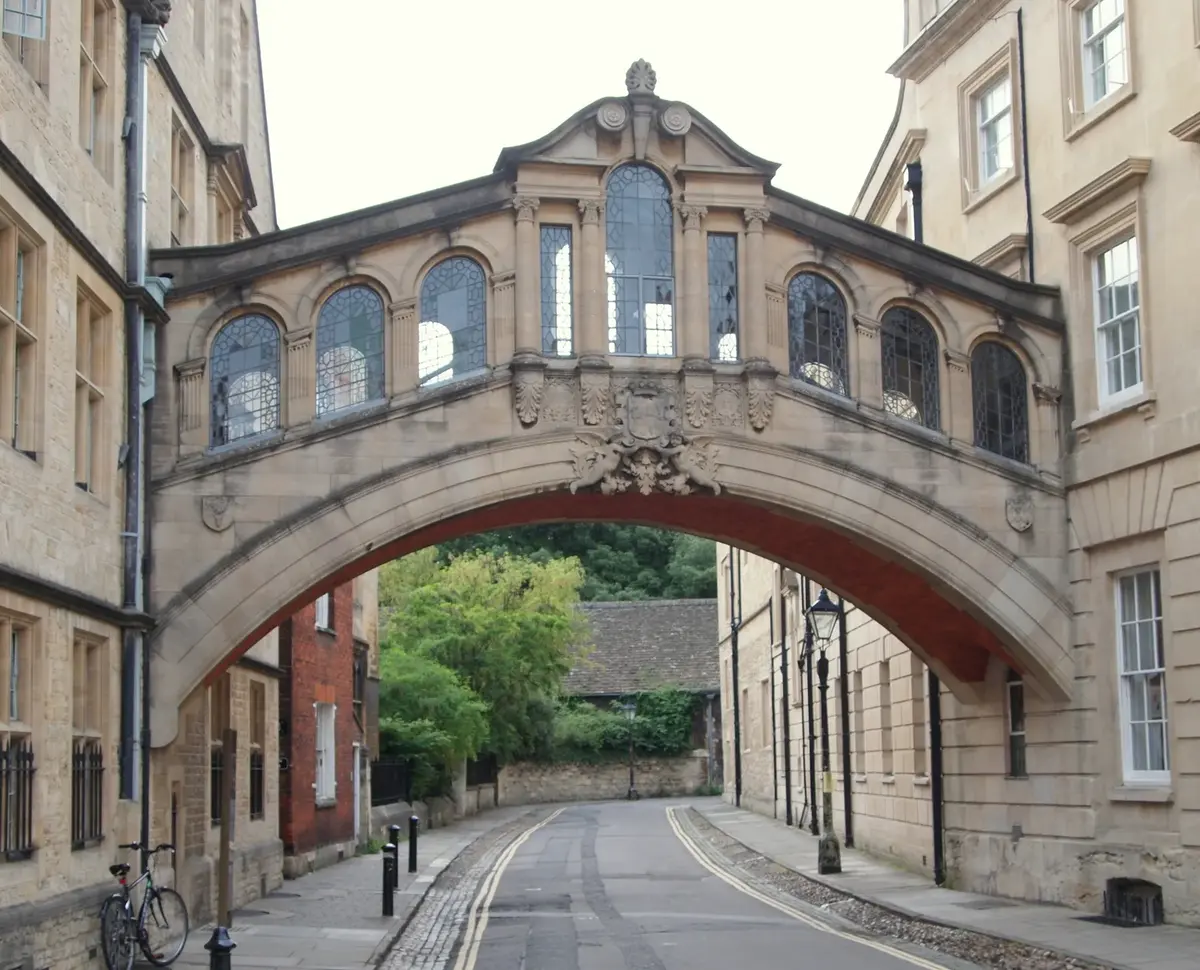
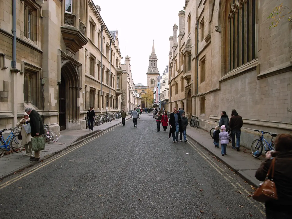
New College Lane
The narrow lane under the Bridge of Sighs — past Halley's house and into Queen's Lane.
Parks Road
From Broad Street north to the University Parks — past Wadham, Keble and the Science Area.
Queen Street
Pedestrianised retail running west from Carfax to Bonn Square.
St Aldate's
South from Carfax to Folly Bridge — past Christ Church, the Town Hall and the river.
St Giles'
The wide boulevard north of the centre — the Eagle and Child, the Lamb and Flag, and the medieval church of St Giles'.
Turl Street
Known as 'The Turl' — three colleges and a row of independent shops between Broad and the High.
Walton Street
The spine of Jericho — Oxford University Press, the Phoenix Picturehouse, and a strong run of independent restaurants and cafés.
Woodstock Road
The western artery north — Somerville, Green Templeton, St Edward's, and on towards Woodstock.