Magpie Lane
One of Oxford's narrowest lanes — a pedestrian shortcut from the High Street to Merton Street.
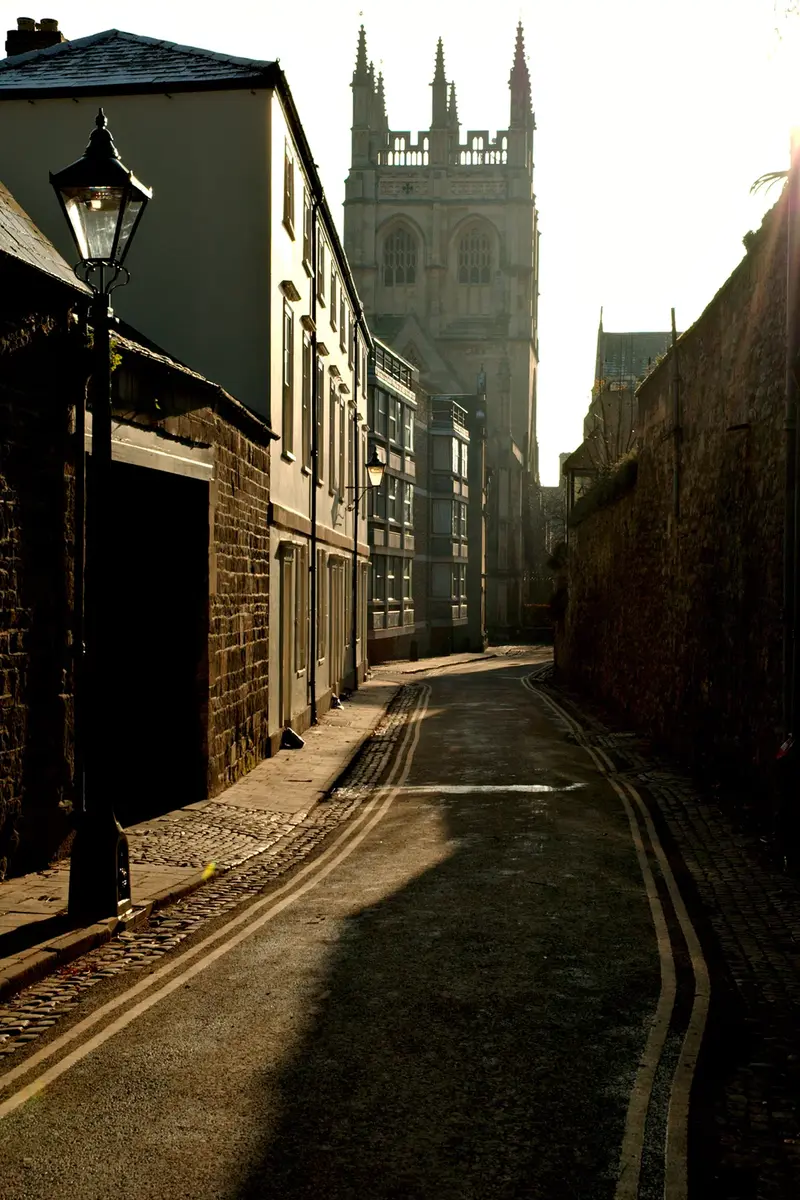
Magpie Lane is a narrow pedestrianised lane running south from the High Street — at the High's narrowest point — to the cobbled Merton Street. The line was already there in the 13th century, when it was recorded under a much franker name and lined with brothels. Today it's the kind of cut-through residents take to escape the High and visitors miss completely.
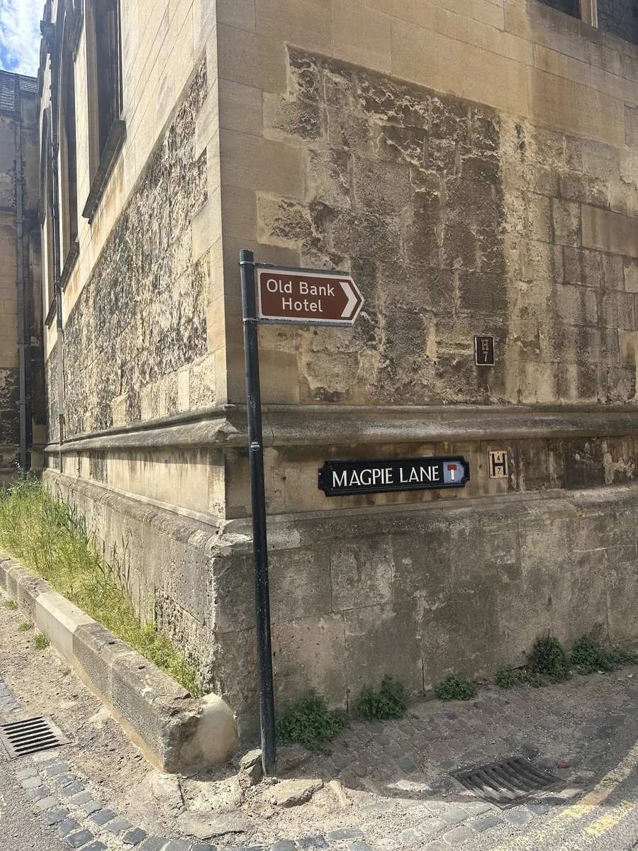 The sign at the High Street end. Photo: OxfordLocal.
Oriel College, including the Rhodes Building of 1910 at the northern end, runs down the western side; University College sits along the eastern side. On the northeast corner where the lane meets the High, an Edwardian house of 1902 is now the Quod restaurant. Toward the southern end a small cul-de-sac, Kybald Street, leads east, giving access to the back of University College and to Kybald Twychen, a Corpus Christi building. South of Merton Street the alignment continues as Grove Walk — also known as Merton Grove or Grove Passage — running between Merton (east) and Corpus Christi (west), with railed gates onto Dead Man's Walk, Merton Field and Christ Church Meadow.
The lane has been renamed more often than most. John Speed's map of 1605 records it under its blunt 13th-century name, taken from the prostitutes who worked here; in the 17th century it became Magpie Lane after an alehouse whose sign was a magpie. By the late 19th century signage and decorum had reduced it to "Grove Street", but the city restored its proper name in 1927. Corpus Christi cleared the houses between Kybald Street and Merton Street in the 1960s for modern student accommodation, which is why the southern half feels less medieval than the northern.
Historical names: Gropecunt Lane, Grope Lane, Grove Street
Sources: Wikipedia: Magpie Lane, Oxford · Wikidata: Magpie Lane (Q15243654) · OpenStreetMap: Magpie Lane