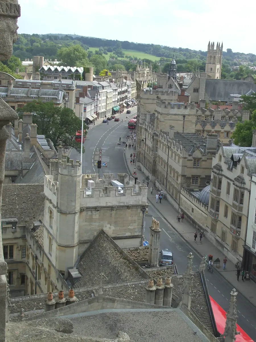
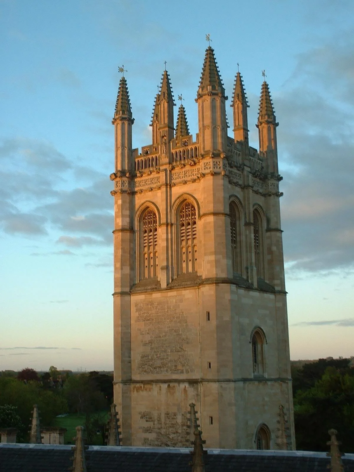
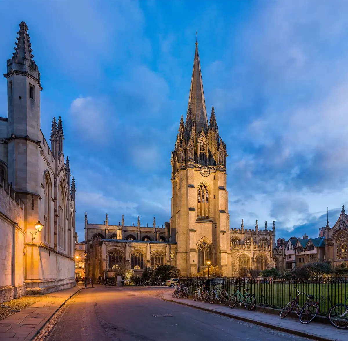
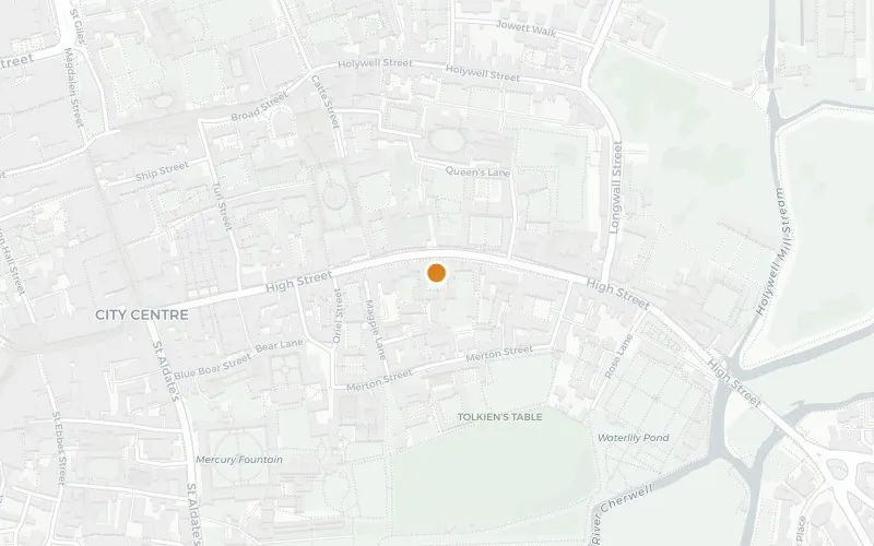
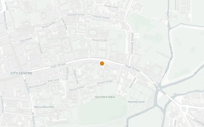
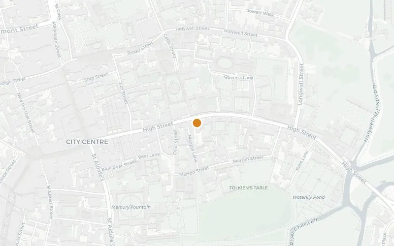
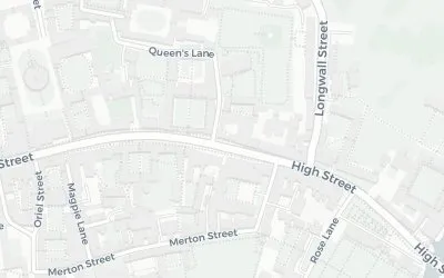
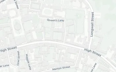
The High Street — known to everyone in Oxford simply as "The High" — runs east-west between Carfax and Magdalen Bridge over the Cherwell. Pevsner called it "one of the world's great streets — it has everything", echoing Thomas Hardy's earlier verdict in Jude the Obscure that it had no equal anywhere. The curve is what photographers come for: a single gentle bend that lets the eye pick out the University Church of St Mary and Magdalen Tower along the same sightline.
Almost every building on it belongs to a college, the university, or a long-running independent business. The north side, west to east, runs through Lincoln (its main entrance round the corner on Turl Street, and incorporating All Saints Church as its library), Brasenose (entrance on Radcliffe Square), the University Church, All Souls, The Queen's College, St Edmund Hall (entrance on Queen's Lane) and Magdalen College at the bridge. The south side carries Oriel, University College (with the Boyle-Hooke plaque outside the Shelley Memorial), the Examination Schools, the Ruskin School of Drawing and Fine Art, the Eastgate Hotel — built where the medieval east gate of the city stood — and the Botanic Garden.
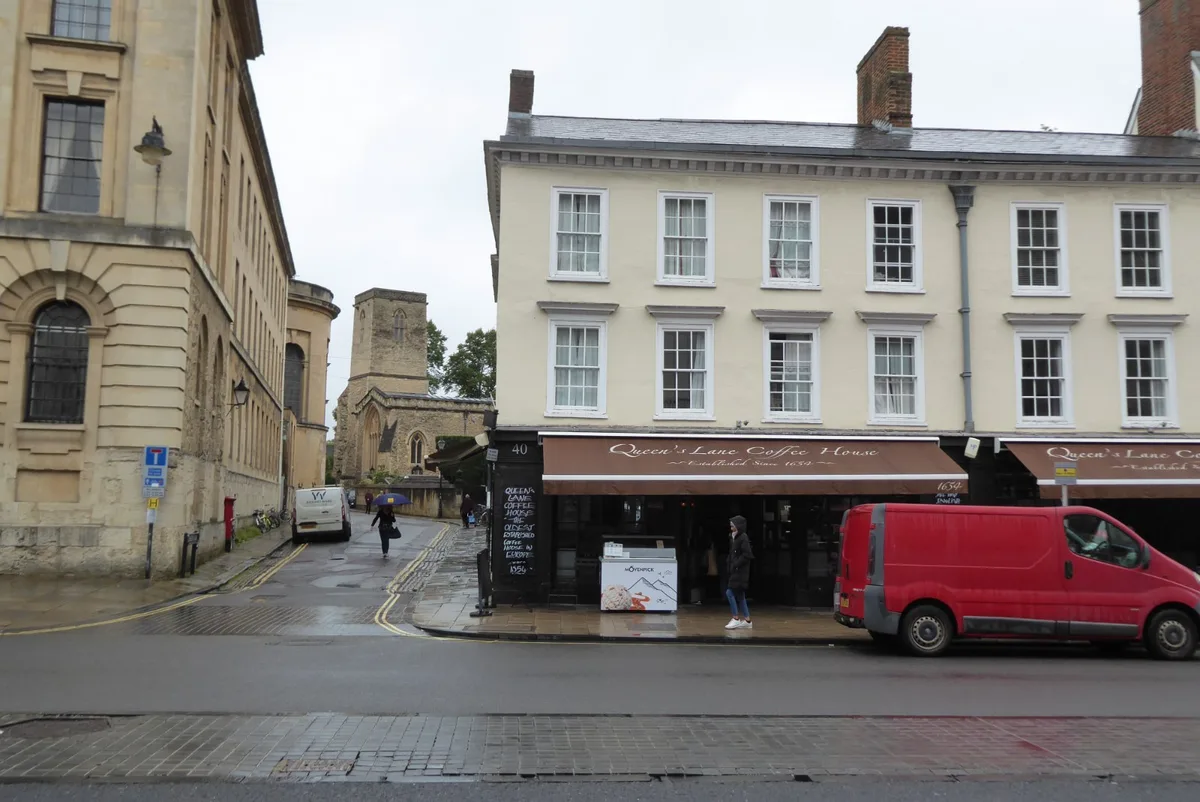
For street-level interest there's still real shopping among it. Specialist independents survive better here than on Cornmarket: Shepherd & Woodward for university outfitting, Payne & Son for goldsmithing, Sanders of Oxford for prints, and Waterfield's for second-hand books. Two coffee houses on opposite sides of the road — the Queen's Lane Coffee House (established 1654) and The Grand Café (claiming 1650) — have spent centuries arguing over which of them was Oxford's first. Halfway down at number 126, a three-storey timber-framed building with overhanging gables dates from 1485 — a rare late-medieval shop with house above, Grade I listed, and unique in Oxford. A few doors west, at numbers 83-84, Frank Cooper's grocer once made "Oxford Marmalade" famous; a blue plaque commemorates Sarah Cooper, the marmalade-maker who started it. On May Morning the dawn choir on Magdalen Tower draws thousands to the eastern end and the High is closed to traffic.
Sources:
Wikipedia: High Street, Oxford · Wikidata: High Street (Q60282) · OpenStreetMap: High Street, Oxford